|
(Please click on the thumbnails to view larger pictures for more details.)
|
|
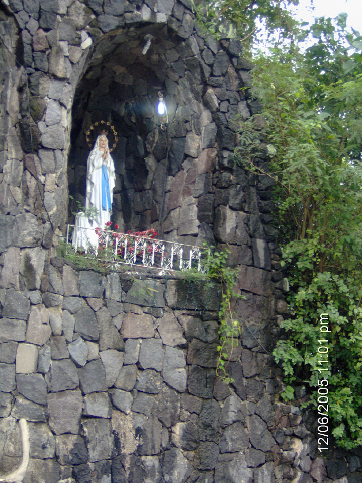
Left (East) side of the Lourdes Grotto Altar.
|
|
|
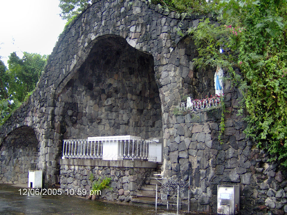
Center section of the Lourdes Grotto Altar.
|
|
|
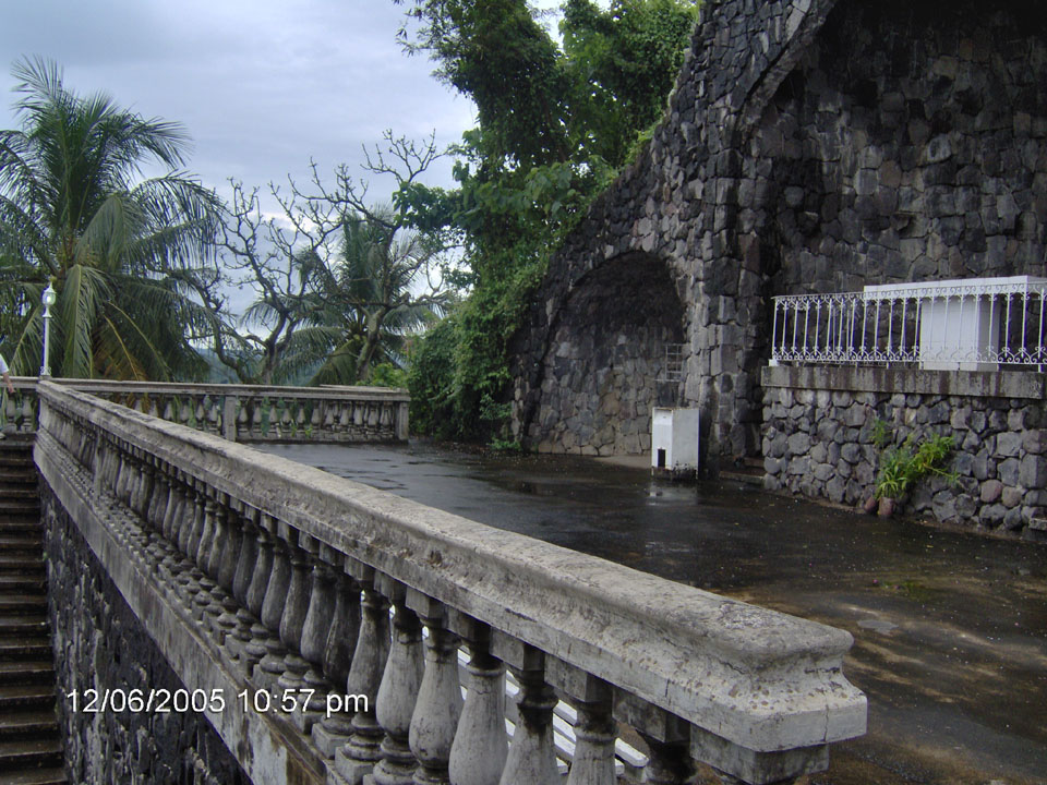
Right (West) side of the Lourdes Grotto Altar.
|
|
|
The old Patuntunan edifice where a little angels are lowered to celebrate the meeting of Mother Mary and the resurrected
Jesus Christ during the celebration of Lent/Easter Sunday.
|
|
|
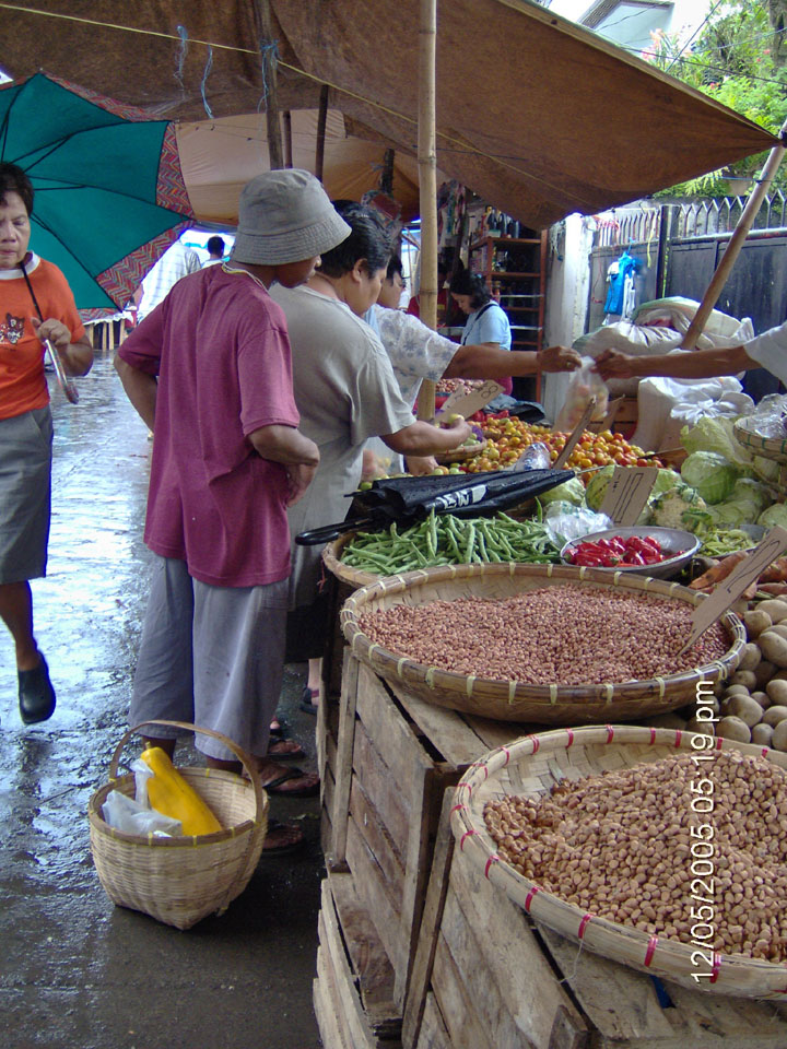
Look at the fresh vegetables, fruits, and many local produce.
|
|
|
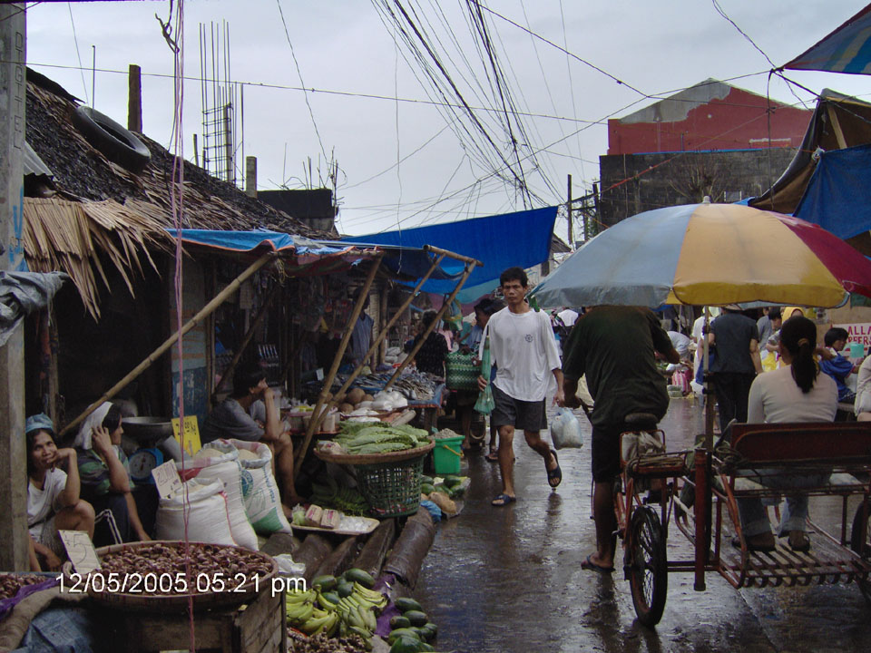
Just another wet and rainy day at the market.
|
(Please click on the thumbnails for larger and more detailed pictures.)
|
|
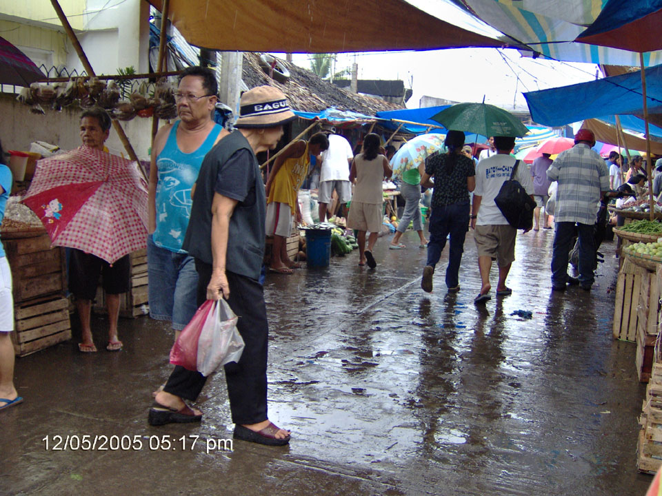
Another view of the wet, wet market. Don't you just miss the good old days?
|
|
|
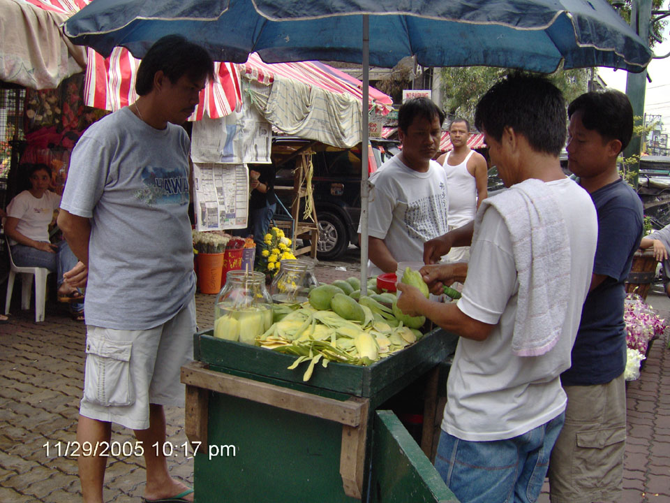
Yumm, yumm! Green mango and bagoong, to go!!! Now that fast food.
|
|
|
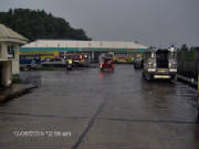
The new bus station for all buses that ply the region including those that travel the Manila-Bicol routes. The bus terminal
is located right across from the entrance to the subdivision in San Roque, in what used to be farm lands behind the Magistrado
residence. This bus terminal, as well as the entire area, is highly visible using GoogleEarth.
|
|
|
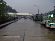
Another picture of the entrance to the new central bus station located in San Roque across from the entrance to the subdivision.
The bus station is along the main road between downtown Iriga and Iriga Central Elementary School.
|
|
|
Overhead view of the main road between downtown Iriga and San Nicolas as viewed from the Ramos residence in "Sapa,"
at the corner of the subdivision in San Roque. Note the small stores that line up on the opposite (left) side on what used
to be the brook (sapa) now covered with concrete.
|
|
|
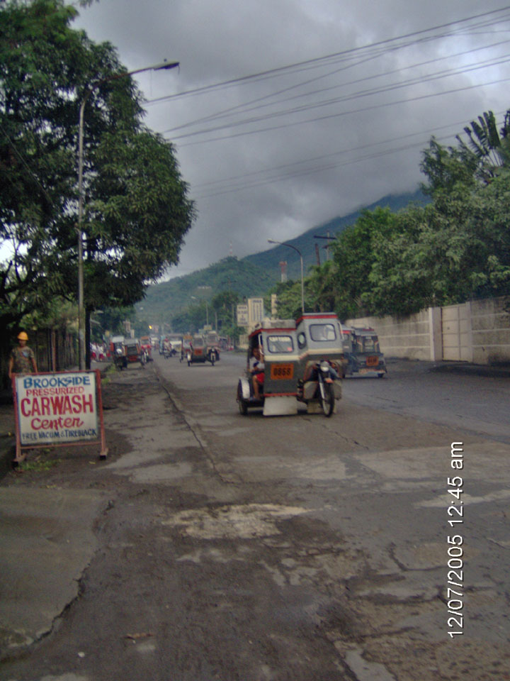
Main road that cuts through Iriga from Nabua, Bato, etc, Legaspi, Albay in the south to Baao, Pili, Naga Airport, Naga City
in the north and on to Camarines Norte. On the right side of the picture, used to be the brook (sapa) now covered with concrete,
with water flowing from what used to be Botawan that is now Iriga City Water Authority.
|
|

|
The facade of one of the original two main buildings of Iriga Central Public School.
|
|

|
The map of Camarines Sur isolated like an island in the middle of man-made pond between the two original two buildings of
Iriga Central School.
|
|

|
The ever resilient Iriga Central Public School that provided the early education to countless successful and prominent Iriguenos.
|
|
|
Main road that cuts through Iriga from Nabua, Bato, etc, Legaspi, Albay in the south to Baao, Pili, Naga Airport, Naga City
in the north and on to Camarines Norte. On the right side of the picture, used to be the brook (sapa) now covered with concrete,
with water flowing from what used to be Botawan that is now Iriga City Water Authority.
|
|